
Selma ZIP Code Directory Coverage
The verified Selma ZIP code directory has one primary ZIP in the research: 93662. It covers incorporated Selma and a surrounding Selma-address delivery area served by the Selma Post Office. That postal area can reach county territory outside the incorporated city. No authoritative evidence of an additional PO-box-only or unique ZIP serving Selma was located, and no official ZIP boundary population or split was verified.
| ZIP code | Areas covered | Post office | Notes |
|---|---|---|---|
| 93662 | Incorporated Selma and surrounding Selma-address delivery area | Selma Post Office, 2058 High Street | Postal area is not proof of city jurisdiction |
The single row matters because a ZIP code directory can look more exact than it is. The USPS delivery label answers where mail is routed. It does not answer who owns a parcel, who occupies it, which voter precinct applies, or whether the site sits inside Selma’s city line. For neutral city context, the Census QuickFacts Selma profile is a population reference, not a ZIP roster.
Finding Selma Residents by ZIP Code
A ZIP code search should narrow a place before it tries to identify a person. The USPS tool verifies a specific deliverable address. The Assessor’s visible legacy address fields include street number, direction, street name, and city, but no ZIP field, and the county removed open address-to-APN matching on January 1, 2025. The Recorder searches indexed parties and instruments, not ZIP-wide residents. My Voter Status is identity-gated and does not provide a public ZIP roster.
- Run the full address through the USPS ZIP lookup and save the returned delivery form.
- Confirm whether the address is incorporated Selma, surrounding county territory, or a parcel near an annexation area.
- Use a known APN, parcel map, legal description, or lawful assessor channel for property research.
- Use the Recorder for deeds and indexed parties, the court for case records, or the state status route for one person’s voter check.
- Once the ZIP narrows the search to a street, continue with the Selma street directory address chain.
The ZIP code is the first geographic filter. It is not the final resident key.
The USPS ZIP lookup page is the official address-verification starting point:
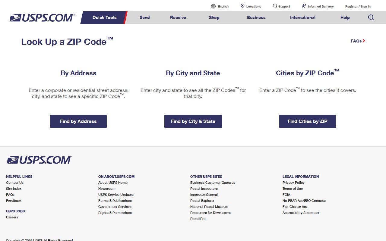
The USPS form verifies delivery formatting, while the parcel and records custodians answer the ownership or person question.
ZIP Code Boundaries Versus Selma City Limits
Postal and municipal geography answer different questions. “Selma, CA 93662” can be a delivery label for an unincorporated property outside the city. Annexation can change municipal jurisdiction without changing the ZIP code. City districts, sanitation, fire, irrigation, school, and county service boundaries can also cross the same postal area. Selma’s General Plan background report is useful for corridor and city-planning context, but a ZIP code directory should still show the postal field beside city, county, parcel, and service fields.
- ZIP code
- A USPS delivery area used to route mail. It is not a city-limit certificate.
- ZIP+4
- An added delivery code used by USPS for more precise routing inside a ZIP.
- PO-box-only or unique ZIP
- A ZIP assigned to a special delivery pattern or institution rather than ordinary street delivery; none was verified for Selma beyond 93662.
- City-limit boundary
- The incorporated municipal line. It can differ from the postal city name and delivery area.
When a record says “Selma,” copy the source’s meaning. USPS, City Hall, Fresno GIS, the Assessor, and the voter system may be describing different boundaries.
Selma's Verified ZIP Code Is 93662
The USPS Selma Post Office record identifies 2058 High Street, Selma, CA 93662-9998, with phone 559-896-4940. Retail hours are Monday through Friday 8:30 a.m. to 4:00 p.m. and Saturday 9:00 a.m. to noon. This is a delivery-office fact, not a resident directory and not a parcel-owner index.
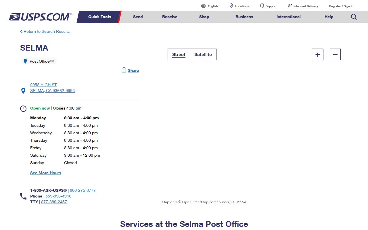
The postal record confirms the office behind 93662 and gives a useful check for a mailing label. It does not show the people who receive mail at any address.
The USPS lookup itself is the correct route when a specific delivery address is in doubt. Search the house number, street, city, and state, then retain the standardized result. A city name in a returned address does not remove the need to check incorporation or parcel jurisdiction.
The High Street Post Office Behind ZIP 93662
A ZIP code directory can name a post office without becoming a list of post office customers. The High Street location is the verified Selma delivery point. Its hours and services can change, so use the official location record for the current check. Mail delivery, post-office boxes, and a property situs are separate concepts.
For a records request, use the office that holds the underlying item. The Fresno Recorder handles instruments and public marriage records. The Assessor handles tax and parcel products. City Hall handles local permits and CPRA requests. The post office does not substitute for any of those custodians.
Selma ZIP Code and APN Keys Differ
An APN is a Fresno County parcel key. A ZIP code is a postal delivery key. The two cannot be swapped. The Assessor’s former address form had street number, direction, street name, and city fields, but no ZIP field. The current county notice says open address-to-APN and APN-to-address matching ended January 1, 2025. For a parcel question, start with a known APN, map, legal description, counter visit, or purchased roll product.
The Fresno GIS portal can display parcel numbers, addresses, streets, city limits, zoning, and flood layers. Ownership questions go to the Assessor. The Recorder’s Tyler portal is party and instrument based. A ZIP filter cannot replace the legal description that keeps a deed chain tied to the right land.
| Search field | ZIP-related use and limit |
|---|---|
| Full delivery address | USPS lookup verifies a specific deliverable address and standardized ZIP. |
| Street number, direction, street name, city | Visible legacy Assessor inputs; no ZIP field and no current open reverse-address promise. |
| APN and parcel map | County land key for parcel research; not a postal boundary key. |
| Voter status | Identity-gated personal status; no public ZIP-wide resident search. |
Note: Postal city, incorporated city, assessment situs, and mailing address should be recorded as separate fields.
Selma Annexation and ZIP Code Records
Selma’s recent annexation activity shows why ZIP and city boundaries must be compared. The city published activity for Tract 6244 with a boundary map and records at the Clerk. The update concerns municipal jurisdiction and does not establish a new ZIP code. A property can keep a 93662 delivery label while its city, district, or service status changes.
The Selma annexation update is the source for the boundary question:
The map is useful for checking municipal geography beside the unchanged postal label. It is not a ZIP-wide household list.
When an address sits near the city edge, check the city record, county GIS, parcel map, and postal result together. A ZIP code directory that leaves out the annexation date can make a correct delivery label look like a complete jurisdiction answer.
Selma District Maps Beside ZIP Code
District maps add another boundary layer. Selma’s redistricting material describes council districts and communities of interest. District membership is not the same as a ZIP code, parcel, voter registration status, or city service area. It can still help explain why two addresses with the same 93662 label are handled by different civic maps.
The Selma redistricting page supplies the district context:
Use this map to separate civic geography from postal geography. It cannot identify every resident in a district or ZIP.
For a person question, use a specific custodian. California My Voter Status is a self-lookup. The state voter-file request is limited to approved purposes and protected handling. A district map should never be treated as permission to build a street roster.
Limits of the Selma ZIP Code Directory
No official ZIP-wide people search was verified for Selma. The Assessor does not offer a current open ZIP filter, the Recorder is indexed by party and document, and the voter system is not an unrestricted street or ZIP browse. A whole-county situs or current-owner product may be purchased and filtered by an authorized researcher, but Fresno will not sell only a Selma or APN slice. Free census context does not turn into a name list.
ZIP 93662 can help locate a mail route, compare an address form, or narrow a parcel map. It cannot prove a person’s residence, ownership, voter status, city membership, or presence on a block. The same caution applies to commercial ZIP people-search products, which may infer or merge names without showing a reliable source.
Use postal data for postal questions. A Selma ZIP code can support delivery and geography research. Do not use a ZIP label to stalk, harass, intimidate, or expose a person.
From Selma ZIP Code to Street Directory
Once 93662 narrows a research area, switch to the street and parcel key. Use USPS for the exact delivery form, GIS for parcel geography, the Assessor or counter for permitted assessment evidence, and the Recorder for party-indexed instruments. If the question is who was listed at an address in an earlier era, use the city directory collections, Haines criss-cross volumes, newspapers, and Sanborn maps.
The Selma street directory handles the next step: address normalization, APN and legal-description continuity, adjacent parcels, deeds, city permits, and privacy limits. A ZIP code directory is valuable when it stays in its lane. It gets a reader to the right geographic starting point, then hands the person or property question to the custodian that can actually answer it.