
Looking Up Selma Neighbors
A block-level Selma neighbors search works by assigning one question to each record. GIS answers where parcels sit. The Assessor answers assessment and mailing questions through permitted channels. The Recorder answers indexed party and transfer questions. Planning and Building files show projects and applications. Haines can add a publication-era address clue. Voter data is restricted, and no public residential association roster was located.
| Source | What it shows about a block | Access |
|---|---|---|
| Fresno GIS | Parcel shapes, APNs, streets, city line, zoning, flood layers | Free map and catalog |
| Assessor roll or counter | Assessee, mailing lead, values, situs evidence where released | Counter or whole-county products |
| Recorder instruments | Owners, grantors, grantees, transfers, legal descriptions | Online, mail, counter, paid copies |
| Selma planning and building | Project address, applicant, contractor, permits, code work | Portal start point, counter, or CPRA |
| Haines and local directories | Historical listed occupants or phone clues | Library shelves and microform |
| Voter file | Approved-use registration or precinct information | Not an open neighbor browse |
Neighbors are therefore a parcel-by-parcel research result. The map may reveal an adjacent APN while the person clue requires a separate custodian.
Mapping a Selma Neighbor Block
Start with one known address and walk outward in the Fresno County GIS Portal. The portal supports map and catalog browsing, zoom and pan, layer display, and identify or select actions where enabled. The research confirms parcel and planning geography, but exact widget labels and a one-click radius owner export were not verified. Treat a visible polygon as a map feature, not a person result.
- Normalize the reference address and find the known parcel or APN through a permitted map, assessor, or counter route.
- Zoom until parcel lines are clear, click each adjacent polygon, and record APNs, street labels, city line, and reference date.
- Check parcel maps and legal descriptions when an adjacent lot appears split, merged, vacant, governmental, or without a situs.
- Resolve owner or mailing evidence with the Assessor and transfer evidence with the Recorder, keeping each parcel separate.
- Add planning, building, directory, or public civic sources only when they answer a defined block question.
The Fresno GIS Portal is the map start. The full named-street chain belongs in the Selma street directory, while the neighbor method stays focused on the immediate block.
Selma GIS for Neighbor Parcels
The Fresno parcel-map service adds a second map route when a GIS layer is hard to read. The county’s parcel maps can be reached through the Assessor’s mapping and parcel-map pages. APNs are organized by map book, page, and parcel. Recorded map types include tract subdivision maps, parcel maps, records of survey, miscellaneous maps, assessment districts, precise plan lines, floodway boundaries, airport plans, state highway monuments and relinquishments, and underground utility districts.
The Fresno parcel-map access page helps test whether two neighboring shapes share a subdivision, split, or recorded boundary. It does not name every neighbor. A parcel map is not a survey, and an APN can change after a split or merge.
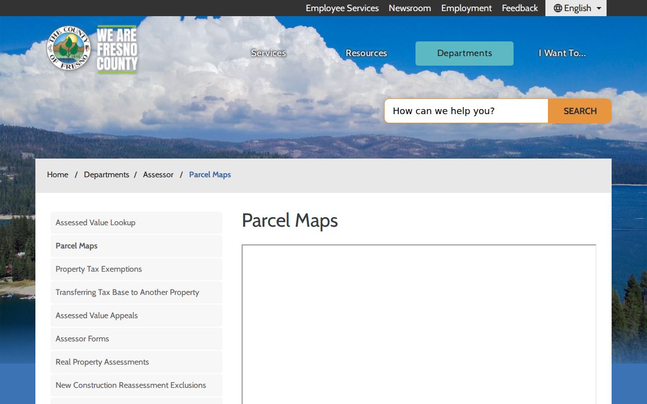
The parcel-map view gives the block a stable land frame before names are researched through the correct office.
- Adjacent parcel
- A mapped parcel that shares a boundary or lies next to the reference parcel; adjacency does not reveal an occupant.
- Situs address
- The physical location of the land, which can differ from a tax mailing address.
- APN
- A county parcel identifier used to connect map, assessment, deed, and legal-description clues.
- Community of interest
- A civic mapping concept used in district work, not a public list of residents or association members.
Selma Assessment Roll and Neighbors
The Fresno Assessor is not an occupant roll. The assessee is the responsible name on an assessment product. A mailing address can belong to a different residence, agent, trust, or business. A homeowner exemption may support an occupancy lead but does not conclusively prove who lives there. The county removed open address-to-APN and APN-to-address matching on January 1, 2025, so a Selma neighbor search may need a known APN, purchased roll, parcel map, or counter help.
Whole-county products include a monthly owner and mailing text or CSV, annual secured roll, annual situs index, quarterly sales, unsecured roll, tax-area material, and parcel characteristics. The county does not sell only a Selma subset. Government and nontaxable parcels may not appear, and parcels with no assigned situs can be absent from a situs index. A visible GIS gap may therefore need map and agency follow-up.
The Fresno Assessor value page is a starting point for current notices and limits. The counter is at Hall of Records, 2281 Tulare Street, Room 201, Fresno, 559-600-3534. Ownership questions stay with the Assessor, not with the GIS map.
Selma Neighbor Records in Planning Files
Planning files can explain a block’s shape and change. Selma Planning handles General Plan amendments, zone changes, conditional-use permits, variances, tentative parcel and tract maps, annexations, site-plan review, home-occupation permits, signs, and landscape reviews. Building reviews plans, issues construction permits, inspects work, and handles unsafe structures and abatement. These files may name applicants, owners, contractors, architects, or representatives, but those roles do not establish who lives next door.
The Selma Community Development page is the public starting point:
Community Development can frame the project and permit route, while a defined CPRA request can seek a nonexempt address or APN record when no open history appears.
Building’s counter is at City Hall, weekdays 8:00 a.m. to 5:00 p.m., 559-891-2208, with applications routed through OpenGov. The research did not verify an unauthenticated historical search, complete result fields, or coverage date. Ask for application, issuance, final, and correction records by address or APN rather than asking a general question about neighbors.
Selma Planning Records Show Project Roles
The Planning Department publishes 559-891-2209 and a virtual counter. A project packet can contain an applicant, owner, representative, parcel, mailing address, map, or approval. It can be valuable for understanding a new subdivision, annexation, or block change. It remains a project record, not a household list.
The planning portal and forms should be read with the map and date. An applicant can change. A contractor can serve several parcels. A mailing address can sit outside the mapped site. A tract or parcel map may identify an association or developer, but it does not establish membership or occupancy.
The Selma Planning page supplies the local service context:
Planning information helps describe how a block is changing without converting project names into claims about the people next door.
Selma Building Records and Block Change
Building records add a construction lens to the Selma neighbors question. They can date a permit, inspection, unsafe-structure review, demolition, or abatement. The Building Division’s application index exposes forms for permits, abandoned-house registration, demolition release, planning applications, appeals, preliminary project review, signs and banners, fee summaries, and other applications. The public form list is not a verified historical parcel search.
The Selma Building and Code page is the source for the process:
A project record can show a work address and a named role. It cannot show every neighbor, renter, household member, or person protected by a confidentiality program.
Selma District Maps and Neighbor Context
Selma redistricting maps describe council districts and communities of interest. They can show how a block is grouped for civic representation, but they are not ZIP maps, parcel rolls, voter rosters, or association directories. Annexation activity can alter city jurisdiction while the postal label stays 93662. A neighbor search should record which map date and boundary it uses.
The Selma redistricting material is useful context for district geography. The Downtown Selma Business Improvement District is another public civic source, but it is a business district, not a residential association. It posts meetings and district information without a public member directory.
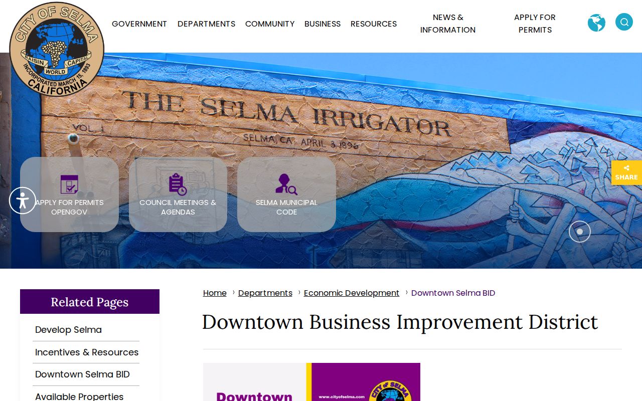
The district view helps place community activity on the map while keeping business membership separate from household evidence.
Selma's Missing Neighborhood Directory
No authoritative open Selma neighborhood-association directory, residential-association list, or public member roster was located. Civic, congregation, block-watch, and HOA rosters are private unless an organization voluntarily publishes them. Planning files for a subdivision may identify a developer, tract, recorded declaration, or association name. Membership and occupancy cannot be inferred from that document.
Residential association directory
No public Selma-wide roster was verified.
Use a recorded declaration or voluntary contact.
Member details are not assumed public
Downtown Selma BID
Official business improvement district
Meetings and district context
Not a residential roster
For a particular subdivision, identify the tract map, search recorded declarations or amendments by document or association name, and contact the named association only for information it chooses to make public. Do not demand a private list to complete a block search.
Selma Voter Data Is Not a Neighbor Browse
California voter registration information is confidential from general inspection under Elections Code §2194 and Government Code §7924.000. My Voter Status is an identity-gated self-lookup. An approved statewide file request can require an eligible purpose, geography, security plan, identification, and penalty-of-perjury signature. Approved purposes include election, scholarly, journalistic, political, and governmental work. A personal or commercial street browse is not the same thing.
Potential file fields can include name, county, residence or mailing address where present, status, party, language, precinct, districts, and participation history. Excluded fields include driver-license or ID data, last four Social Security number digits, unique identifiers, signatures, confidential voters, and preregistered minors. Participation never reveals ballot choices. Safe at Home participants can register confidentially.
A voter result is not a complete list of Selma neighbors. It is a restricted record with a defined purpose and date. The state’s voter-file request rules should be read before any application.
ZIP Code Neighbors May Sit Outside Selma
ZIP 93662 covers incorporated Selma and a surrounding Selma-address delivery area. Rural or unincorporated properties can use a Selma mailing label while sitting outside the city. Annexation may change the city line without changing the ZIP. The USPS lookup verifies a specific deliverable address, but it does not prove city jurisdiction, property ownership, or a neighbor relationship.
When a block is near an edge, place the USPS result beside the city map, GIS parcel, district map, and assessor situs. A postal neighbor may be a county parcel. A city neighbor may have a different service district. The “same ZIP” shortcut is not a substitute for an adjacent APN.
Privacy Limits on a Selma Neighbor Lookup
Public records leave out many neighbors by design. Renters, household members, children, protected voters, people using Safe at Home, utility customers, and unlisted directory subjects may not appear. A mailing address can be different from the situs. A property owner can be absent. A commercial neighbor product can infer a person from stale or mixed data and merge two names.
| Official source | Commercial neighbor tool |
|---|---|
| Names its custodian, record type, date, and access rule | May combine public, licensed, and inferred data |
| Can be checked through a counter, portal, mail route, or library | May be stale, incomplete, or costly to verify |
| Still does not prove every occupant | Can conflate owner, occupant, and former neighbor |
Lawful personal use. Selma neighbor research can support ordinary civic curiosity, block history, family reconnection, and personal safety awareness. Do not use parcel, map, voter, project, or name data to stalk, harass, intimidate, or harm any person.
A sound neighbor lookup ends with a map and evidence table, not a claim about everyone who lives on a block. Record the parcel, source role, reference date, and limits. If the question shifts to a full named street, use the street directory lookup rather than expanding a block method beyond its purpose.